
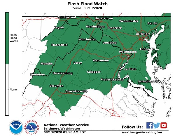
NOTTINGHAM, MD—The National Weather Service has once again issued a Flash Flood Watch for the Nottingham area on Thursday.
The watch is in effect from 7 a.m. through Thursday evening.
Slow moving thunderstorms capable of producing heavy rainfall may develop throughout the day. Heavy rainfall from thunderstorms may lead to flash flooding.
Potential impacts include rapid rises of water, flooded roads, and flooding of structures in low lying areas near streams. Landslides and washouts are also possible.
A Flash Flood Watch means that rapid rises of water and flash flooding are possible. Flash flooding is a very dangerous situation.
Those in low lying areas and near streams should monitor water levels during heavy rain and be prepared to move to high ground quickly if flooding is observed, or if warnings are issued.
Drivers should be very cautious. Low areas may become flooded, and heavy rain can cause poor drainage flooding quickly.
Motorists are reminded to “turn around, don’t drown.”