
UPDATE: A Severe Thunderstorm Watch and Wind Advisory are now in effect.
Original story below…
———
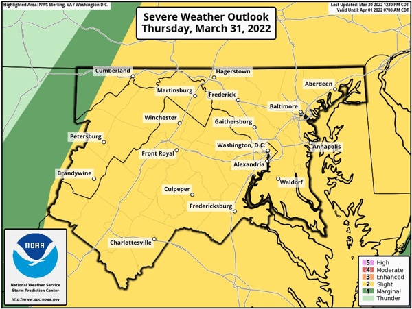
NOTTINGHAM, MD—The National Weather Service has issued a Hazardous Weather Outlook for the Baltimore area on Thursday as severe weather approaches the area.
The Hazardous Weather Outlook covers the entire I-95 corridor and central Maryland.
Forecasters say scattered severe thunderstorms are possible on Thursday afternoon and evening.
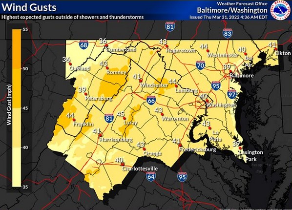
Damaging wind gusts are the main threat, but hail or a few tornadoes are possible as well.
Strong winds may lead to isolated instances of wind damage, even outside of thunderstorms.
Residents should stay tuned to local forecasts.
Please follow and like us: