BALTIMORE, MD—The National Weather Service has issued a Flood Watch for Thursday in central Maryland.
The watch will be in effect from 2:00 p.m. on July 31st until 2:00 a.m. on August 1st.
Forecasters say significant flash flooding is possible. Numerous showers and thunderstorms will develop and move across the area Thursday afternoon into Thursday evening. Thunderstorms will be capable of producing very heavy rain, with rainfall rates of 1 to 2 inches in 30 minutes.
Widespread rainfall amounts of 1 to 2 inches are expected. Some areas could experience multiple rounds of thunderstorms, with higher rainfall amounts of 4 to 6 inches possible. This could result in numerous instances of flash flooding. Showers and thunderstorms will begin early Thursday afternoon, and the heaviest rainfall is most likely from 3:00 to 8:00 p.m.
Excessive runoff may result in flooding of rivers, creeks, streams, and other low-lying and flood-prone locations. Flooding may occur in poor drainage and urban areas. Extensive street flooding and flooding of creeks and rivers are possible.
Residents should monitor later forecasts and be prepared to take action should Flash Flood Warnings be issued.


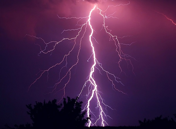
Photo via Pixabay
