UPDATE: A Flood Watch has been issued for the Baltimore area.
Original story below…
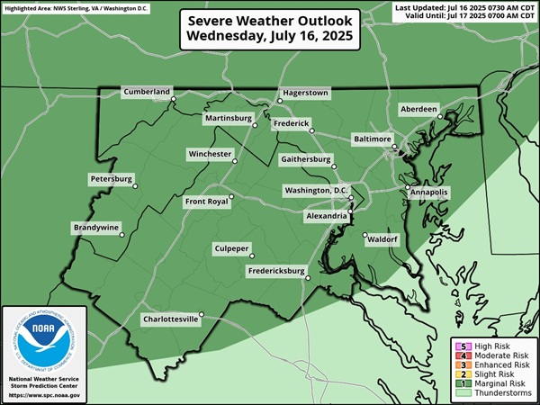
BALTIMORE, MD—A stormy summer pattern continues in the Baltimore area on Wednesday.
The National Weather Service says showers and thunderstorms capable of producing damaging wind gusts and torrential downpours are expected across much of the area on Wednesday afternoon and evening.
Isolated instances of flash flooding will be possible with any storms that develop. High temperatures on Wednesday will be in the 80s to low 90s.
The stormy pattern will likely continue throughout the rest of the week. Forecasters say there is a 70% chance of severe storms on Wednesday, a 50% chance of storms on Thursday, and a 40% chance of storms on Friday.

Please follow and like us:
