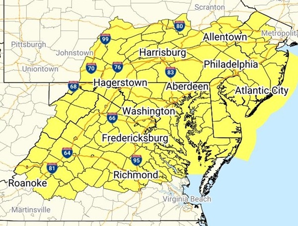
BALTIMORE, MD—The National Weather Service has issued a Severe Thunderstorm Watch for most of Maryland on Tuesday.
The watch will remain in effect until 9:00 p.m. on July 1, 2025 and includes Allegany County, Anne Arundel County, Baltimore City, Baltimore County, Calvert County, Caroline County, Carroll County, Cecil County, Charles County, Dorchester County, Frederick County, Harford County, Howard County, Kent County, Montgomery County, Prince George’s County, Queen Anne’s County, Somerset County, St. Mary’s County, Talbot County, Washington County, Wicomico County, and Worcester County.
Forecasters say to expect quarter-sized hail, wind gusts of up to 70 mph, and frequent lightning with any storms that develop.
A Flood Watch is also in effect for the region on Tuesday.

Heads up. There is a moderate risk (level 3 of 4) for excessive rainfall for a portion of the Mid-Atlantic this afternoon into tonight. There is a broader area of marginal to slight risk for excessive rainfall and severe thunderstorms across much of the eastern US. pic.twitter.com/bxAPmCEIzO
— NWS Eastern Region (@NWSEastern) July 1, 2025
